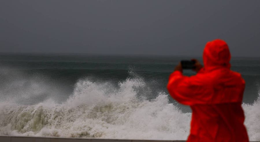
The storm Charles has passed, but rain is forecast to continue over the coming days. The Portuguese Institute for Sea and Atmosphere notes that precipitation may be intense, particularly in the northern and central regions.
Why it matters
If you are traveling or live in the north or centre of the country, be aware that periods of intense rain are expected to continue in the coming days.
Your quick shot of what's changing in Portugal and affecting your status, your home, your money, and whatever might disrupt your day. Short and clear updates, gathered from Portuguese sources.
Two consecutive weather depressions are affecting Portugal. Depression Bruna is currently causing flooding, with orange warnings for wind active in the districts of Santarém, Évora, Portalegre, and Castelo Branco as of the night of Monday 9 November. Depression Charles will follow, reaching Madeira from Tuesday 10 November to Wednesday 11 November, and is expected to hit mainland Portugal from late morning on Wednesday 11 November with potentially stronger gusts of 100 to 120 km/h.
The IPMA weather institute has issued an alert for rain, wind, and rough sea conditions across mainland Portugal starting on Sunday 8 November and lasting until Friday 13 November, caused by a depression named Bruna located north of the Azores.
The Portuguese Institute for Sea and Atmosphere (IPMA) has issued a yellow weather warning for the districts of Faro and Beja due to forecasts of thunderstorms, locally heavy rain, hail, and strong wind gusts. The warning is in effect from 12:00 to 18:00 on Monday, 19 October 2026, with potential for hourly rainfall between 10 and 20 millimeters and wind gusts between 70 and 90 km/h.